TIME TO MOVE TO CANADA
Traveling south on the Lodge Freeway in Detroit, Michigan, leads to a surprising international vista: Windsor, Ontario, Canada, across the Detroit River. This geographical curiosity occurs due to a unique bend in the river, positioning a portion of Windsor directly south of Detroit.
Despite being in two different countries, Detroit and Windsor share a close relationship, underscored by this rare north-south orientation between a U.S. city and its Canadian counterpart. This phenomenon makes Detroit one of the few places in the United States where one can look southward to see Canada.
TIME TO FOUND THE TOWN OF SPRINGFIELD
The prevalence of springs in the American landscape has led to a tradition of naming towns after these natural water sources, with “Springfield” and “Springville” being popular choices, alongside numerous towns incorporating “Springs” into their names.
Many of these Springfields, directly or indirectly, draw inspiration from Springfield, Massachusetts, a pivotal manufacturing hub during America’s early years. Furthermore, the name “Riverside” is another common town name, with 97% of Americans living in a state that has a Riverside.
ROLLING DOWN A VERY SHORT RIVER
At its longest constant stretch, the Roe River spans only 61 meters, and its depth near the mouth ranges from 6 to 8 feet. This fascinating natural feature attracted attention for its brief journey, earning its place in record books until the category was retired in 2006.
The current title of the world’s shortest river has since been claimed by the Reprua River in the Republic of Abkhazia. Flowing just 18 meters, the Reprua stands as one of the shortest and coldest rivers, particularly noted for its proximity to the Black Sea coast.
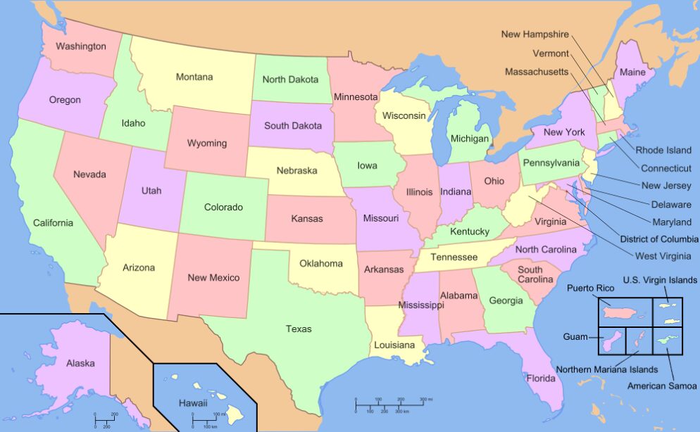
TURN WEST TO GO TO NEVADA
Despite the common perception of Los Angeles, California, as a western city along the Pacific Ocean, a geographical curiosity places Reno, Nevada, even further west. This fact often surprises those who think of Reno as situated squarely within the interior of the Western United States, far from any coastal line.
The positioning is due to the intricate contours of state boundaries and the coastal outline that defines the United States’ western edge. Reno’s location, nestled in the northern part of Nevada, unexpectedly extends west of Los Angeles when looking at a detailed map.
THE SHORTEST DISTANCE BETWEEN TWO POINTS IS A STRAIGHT LINE
This line of latitude is a circle of the Earth that is 35 degrees north of the Equatorial plane. Despite the vast distance and stark differences between the two cities in terms of climate, culture, and landscapes, this latitudinal alignment ties them together in the global grid.
Los Angeles is known for its sprawling metropolis, entertainment industry, and Mediterranean climate, while Charlotte boasts a vibrant financial sector, lush greenery, and a humid subtropical climate. The fact that these diverse cities share the same latitude highlights the fascinating variety of environments and experiences found at similar positions around the globe.
THEY LOOK LIKE TWO DIFFERENT LAKES
The Great Lakes, a natural wonder of North America, are renowned for their size and significance. However, a fascinating fact about these bodies of water is that what we commonly refer to as Lake Huron and Lake Michigan are technically one continuous lake body.
Despite their separate names, they are hydrologically connected, sharing the same water level and essentially functioning as one massive lake. Some refer to them as Lake Michigan-Huron, recognizing their unity, while others maintain the distinction.
LESS LAKES, SAME AMOUNT OF WATER
Despite being conventionally treated as two separate lakes, when combined, they surpass Lake Superior in terms of surface area, which should earn them the title of the largest freshwater lake in the world. This distinction highlights the interconnectedness and complexity of the Great Lakes system.
Lake Michigan-Huron’s vast expanse encompasses a diverse range of ecosystems and plays a crucial role in the regional environment and economy. Understanding this perspective sheds light on the dynamic nature of geographical features and invites a deeper appreciation for the interconnectedness of our natural world.
THAT HAS TO CONFUSE THE COAST GUARD
The Statue of Liberty, an iconic symbol of freedom and democracy, stands amidst a longstanding dispute between New Jersey and New York. Although Liberty Island is situated within New Jersey’s territorial waters as per modern boundaries, New York State asserts ownership over most of the land on the island.
This complex issue dates back centuries, showcasing the intricate nature of border disputes. Despite numerous attempts to resolve the disagreement, a definitive resolution remains elusive. The enduring debate underscores the symbolic and historical significance of the Statue of Liberty, while also highlighting the complexities inherent in defining jurisdictional boundaries.
CITIES HAVE MORE IN COMMON THAN EXPECTED
New York City and Salt Lake City, despite their stark differences in culture and geography, share an interesting commonality: they both sit at the same latitude of 40.7° N. This means that they are aligned along the same line of latitude, running east-west around the globe.
Despite being over 2,000 miles apart, this geographical coincidence highlights the diversity of climates and landscapes that can exist along the same latitude. While New York City boasts a bustling metropolis and a temperate climate influenced by its coastal location, Salt Lake City is known for its stunning mountain scenery and a more arid, continental climate.
LOOKING AT THE MAP WITH NEW EYES
A glance at a map reveals a surprising truth about the United States: the western part of the country is generally situated further north than many people realize compared to the eastern regions. This observation challenges common perceptions of the nation’s geographical layout.
The contrast becomes evident when comparing the latitudinal positions of cities and landmarks across the country. While major cities like Los Angeles and San Francisco in the West sit significantly higher in latitude than cities on the East Coast like New York and Miami.
NO ONE WILL DISPUTE THOSE BORDERS
Hawaii stands out among the 50 states of the United States for its unique geographic distinction: it is the only state whose borders are entirely defined by natural features. Unlike the other states, which often incorporate straight lines or man-made boundaries, Hawaii’s borders are shaped entirely by the coastlines and geological formations of its islands.
This exceptional characteristic arises from Hawaii’s status as an archipelago, consisting of a chain of islands formed by volcanic activity. As a result, the boundaries of Hawaii reflect the diverse and dynamic nature of its landscape, with each island contributing to the state’s distinctive shape.
LONDON AND ALASKA ON THE SAME SPOT
Alaska’s southernmost point, Amatignak Island, and London, England, share an intriguing geographical coincidence: they both lie along the same line of latitude, approximately 51 degrees north. Despite being thousands of miles apart, this alignment highlights the diverse and interconnected nature of our planet’s geography.
While Amatignak Island, situated in the Aleutian Islands chain, showcases Alaska’s rugged wilderness and remote beauty, London represents a bustling cosmopolitan hub and cultural epicenter. Despite their stark differences, both locations experience similar daylight patterns and climatic influences due to their shared latitude.